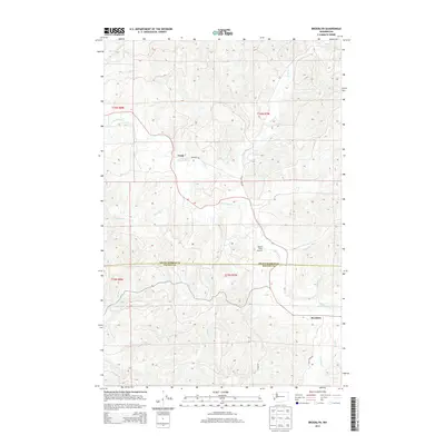
2013 Map of Brooklyn
USGS Topo · Published 2013About this map
Vesta and Brooklyn anchor this corner of the Pacific Northwest, where the North River carves a winding path through the borderlands of Grays Harbor and Pacific counties. The landscape is defined by an intricate network of drainages including Vesta Cr, Fall River, and Salmon Cr, reflecting a region dominated by timber and water resources. Early 21st-century infrastructure is visible through the logging and access routes like Vesta Creek Rd and Fall River Rd, which trace the valleys to connect these small settlements. Near the center of the quadrangle, Banas Field Airport provides a remote aviation waypoint amidst the high relief of the surrounding hills. This map illustrates the transition from the lower river valleys to the upland ridges of the Coast Range, capturing the balance between isolated rural outposts and the working forests of Washington State.
Find a feature on this map
32 named features on this map. Tap any name to fly to it.
Don’t see what you’re looking for? This feature index may not catch every label — zoom into the map to look around manually.
Map Details
Editions of this 2013 Brooklyn Map
This is the sole edition of this map. No revisions or reprints were ever made.
Other maps of this area

1940 · Montesano
USGS Topo · 1:62,500

1941 · Walville
USGS Topo · 1:62,500

1941 · Ford
USGS Topo · 1:62,500

1953 · Hoquiam
USGS Topo · 1:250,000

1953 · Pe Ell
USGS Topo · 1:62,500

1953 · Malone
USGS Topo · 1:62,500

1955 · Montesano
USGS Topo · 1:62,500

1955 · Raymond
USGS Topo · 1:62,500

1957 · Hoquiam
USGS Topo · 1:250,000

1958 · Hoquiam
USGS Topo · 1:250,000