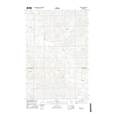
2017 Map of Brooklyn
USGS Topo · Published 2017About this map
North River dominates this landscape on the border of Grays Harbor and Pacific Counties, carving a path through the timberlands where the settlements of Vesta and Brooklyn serve as primary points of interest. The map reveals a sophisticated network of logging and resource roads, including named routes like Vesta Creek Rd, Smith Creek Rd, and the distinctively coded O Line and Z Line Rd. These transport arteries follow the complex drainage patterns of the coastal hills.
Find a feature on this map
30 named features on this map. Tap any name to fly to it.
Don’t see what you’re looking for? This feature index may not catch every label — zoom into the map to look around manually.
Map Details
Editions of this 2017 Brooklyn Map
This is the sole edition of this map. No revisions or reprints were ever made.
Other maps of this area

1940 · Montesano
USGS Topo · 1:62,500

1941 · Walville
USGS Topo · 1:62,500

1941 · Ford
USGS Topo · 1:62,500

1953 · Hoquiam
USGS Topo · 1:250,000

1953 · Pe Ell
USGS Topo · 1:62,500

1953 · Malone
USGS Topo · 1:62,500

1955 · Montesano
USGS Topo · 1:62,500

1955 · Raymond
USGS Topo · 1:62,500

1957 · Hoquiam
USGS Topo · 1:250,000

1958 · Hoquiam
USGS Topo · 1:250,000