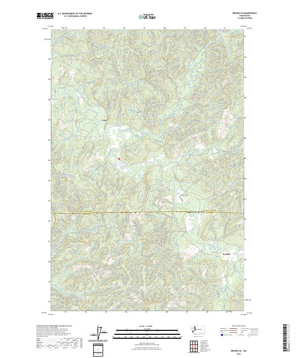
2023 Map of Brooklyn
USGS Topo · Published 2023About this map
The North River serves as the central artery for this remote portion of Western Washington, where the settlements of Vesta and Brooklyn anchor a landscape defined by its complex drainage network. The topography is deeply carved by numerous tributaries including Salmon Creek, Elkhorn Creek, and Vesta Creek, reflecting the wet, timber-rich environment of the coastal range. Transport in the region is dictated by these watercourses, with routes like N River Rd and Smith Creek Rd following the natural contours of the river valleys.
Find a feature on this map
29 named features on this map. Tap any name to fly to it.
Don’t see what you’re looking for? This feature index may not catch every label — zoom into the map to look around manually.
Map Details
Editions of this 2023 Brooklyn Map
This is the sole edition of this map. No revisions or reprints were ever made.
Other maps of this area

1940 · Montesano
USGS Topo · 1:62,500

1941 · Walville
USGS Topo · 1:62,500

1941 · Ford
USGS Topo · 1:62,500

1953 · Hoquiam
USGS Topo · 1:250,000

1953 · Pe Ell
USGS Topo · 1:62,500

1953 · Malone
USGS Topo · 1:62,500

1955 · Montesano
USGS Topo · 1:62,500

1955 · Raymond
USGS Topo · 1:62,500

1957 · Hoquiam
USGS Topo · 1:250,000

1958 · Hoquiam
USGS Topo · 1:250,000