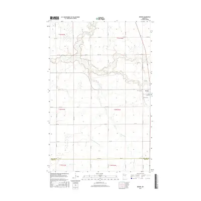
2016 Map of Brooks
USGS Topo · Published 2016About this map
Brooks serves as the primary hub for this portion of Red Lake County, situated at the confluence of several vital regional waterways. The landscape is defined by the winding paths of the Clearwater River and the Lost River, which converge near the town's northern edge. To the south, the Poplar River and Hill River meander through the prairie, illustrating the complex drainage patterns of the Red River Valley. The presence of extensive water management, such as County Ditch Number Four, indicates the area's agricultural focus and the need to channel surface water in this low-relief terrain.
Find a feature on this map
37 named features on this map. Tap any name to fly to it.
Don’t see what you’re looking for? This feature index may not catch every label — zoom into the map to look around manually.
Map Details
Editions of this 2016 Brooks Map
This is the sole edition of this map. No revisions or reprints were ever made.
Other maps of this area

1918 · Terrebonne
USGS Topo · 1:62,500

1919 · Grit
USGS Topo · 1:62,500

1919 · Valley
USGS Topo · 1:62,500

1952 · Grand Forks
USGS Topo · 1:250,000

1954 · Bemidji
USGS Topo · 1:250,000

1956 · Grand Forks
USGS Topo · 1:250,000

1957 · Bemidji
USGS Topo · 1:250,000

1958 · Bemidji
USGS Topo · 1:250,000
1964 · Plummer NW
USGS Topo · 1:24,000

1964 · Terrebonne
USGS Topo · 1:24,000