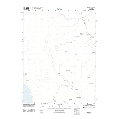
2012 Map of Brooks
USGS Topo · Published 2012About this map
Brooks and Cadenasso anchor the northeastern corner of this Yolo County landscape, where the agricultural valley meets the steep, rising ridges of the Blue Ridge. The terrain is defined by a dense network of canyons and peaks, including Berryessa Peak and Scribner Mountain, while the eastern shore of Lake Berryessa reaches into the southwestern quadrant. This era shows a mix of traditional ranching and modern utility, evidenced by family holdings like Harris Ranch and Clark Ranch alongside the G3 Ranch Airport. The topography is particularly complex near Devils Elbow, where numerous drainages such as Tamarack Canyon and Fiske Canyon converge. The prevalence of named springs, such as Medical Spring, Sulphur Spring, and Fern Spring, suggests a landscape historically valued for its water sources in an otherwise dry, sloping environment. This topographic study captures the interface between the Capay Valley’s rural settlements and the higher elevations of the inner Coast Ranges.
Find a feature on this map
53 named features on this map. Tap any name to fly to it.
Don’t see what you’re looking for? This feature index may not catch every label — zoom into the map to look around manually.
Map Details
Editions of this 2012 Brooks Map
This is the sole edition of this map. No revisions or reprints were ever made.
Other maps of this area

1905 · Esparto
USGS Topo · 1:24,000

1916 · Esparto
USGS Topo · 1:31,680

1924 · Capay
USGS Topo · 1:62,500

1942 · St. Helena
USGS Topo · 1:62,500

1943 · Morgan Valley
USGS Topo · 1:62,500

1943 · Capay
USGS Topo · 1:62,500

1944 · Morgan Valley
USGS Topo · 1:62,500

1945 · Capay
USGS Topo · 1:62,500

1945 · Rumsey
USGS Topo · 1:62,500

1945 · St. Helena
USGS Topo · 1:62,500