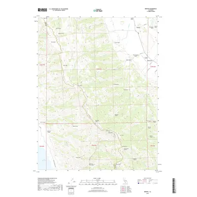
2018 Map of Brooks
USGS Topo · Published 2018About this map
Blue Ridge dominates the center of this landscape, forming a high spine that separates the Capay Valley from the western canyons. Near the northeastern corner, the settlement of Brooks sits along the edge of the Sacramento Valley, where Cache Creek winds through the flats. The terrain is defined by a dense network of drainages, from the deep Tully Canyon and Carey Canyon to the smaller, spring-fed draws like Medical Spring and Alder Spring. High points such as Berryessa Peak and Anderson Mtn provide significant vertical relief above the valley floor.
Find a feature on this map
66 named features on this map. Tap any name to fly to it.
Don’t see what you’re looking for? This feature index may not catch every label — zoom into the map to look around manually.
Map Details
Editions of this 2018 Brooks Map
This is the sole edition of this map. No revisions or reprints were ever made.
Other maps of this area

1905 · Esparto
USGS Topo · 1:24,000

1916 · Esparto
USGS Topo · 1:31,680

1924 · Capay
USGS Topo · 1:62,500

1942 · St. Helena
USGS Topo · 1:62,500

1943 · Morgan Valley
USGS Topo · 1:62,500

1943 · Capay
USGS Topo · 1:62,500

1944 · Morgan Valley
USGS Topo · 1:62,500

1945 · Capay
USGS Topo · 1:62,500

1945 · Rumsey
USGS Topo · 1:62,500

1945 · St. Helena
USGS Topo · 1:62,500