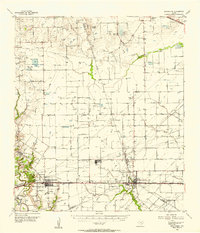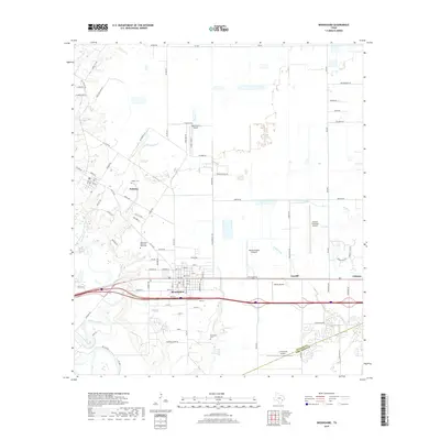
1971 Map of Brookshire
USGS Topo · Published 1973About this map
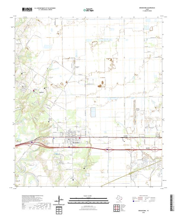
Brookshire and Pattison anchor this agricultural and industrial landscape in the early 1970s, where the expansion of the Katy Oil and Gas Field increasingly defines the horizon east of the town centers. The Missouri Kansas Texas railroad serves as the primary east-west corridor, linking the smaller rail stops of Cardiff and Johnsue. This era captures the transition of the Brazos River valley hinterland as it balances rice farming, evidenced by the Air Rice Landing Strip, with a growing petrochemical footprint including a prominent Refinery. Local genealogy is well-documented through sites like Wilpitz Cemetery, Currys Chapel, and the Brookshire Cemetery. The map also traces the winding courses of Bessies Creek and Bell Bottom Creek, which provide natural drainage through the predominantly flat terrain of the Waller and Fort Bend county line.
Find a feature on this map
33 named features on this map. Tap any name to fly to it.
Don’t see what you’re looking for? This feature index may not catch every label — zoom into the map to look around manually.
Map Details
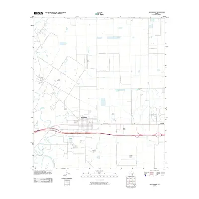
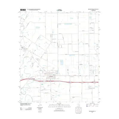
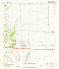
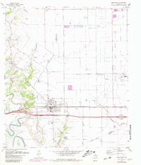
Editions of this 1971 Brookshire Map
2 editions found
Historical Maps of Katy Through Time
7 maps found