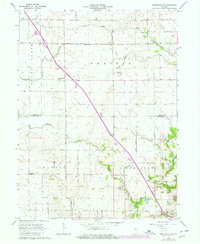
1962 Map of Brookston SW
USGS Topo · Published 1980About this map
Agricultural drainage and rural settlement patterns define this portion of the Indiana landscape, where Round Grove and the open Prairie meet. The map reveals a highly structured grid of section lines and gravel roads, including the White Co Tippecanoe Co boundary, which bisects the quadrangle. Small rural centers such as Cairo and Octagon serve as anchor points for local history, with the Cairo Cem and Liberty Chapel providing specific locations for genealogical research.
Find a feature on this map
31 named features on this map. Tap any name to fly to it.
Don’t see what you’re looking for? This feature index may not catch every label — zoom into the map to look around manually.
Map Details
Editions of this 1962 Brookston SW Map
2 editions found

Other maps of this area

1941 · Lafayette
USGS Topo · 1:24,000

1942 · Otterbein
USGS Topo · 1:24,000

1942 · Lafayette
USGS Topo · 1:24,000

1950 · Lafayette
USGS Topo · 1:24,000

1951 · Otterbein
USGS Topo · 1:24,000

1953 · Danville
USGS Topo · 1:250,000

1955 · Danville
USGS Topo · 1:250,000

1956 · Danville
USGS Topo · 1:250,000

1961 · Lafayette East
USGS Topo · 1:24,000

1961 · Otterbein
USGS Topo · 1:24,000