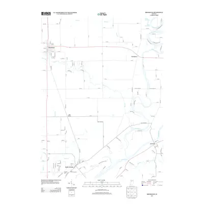
2013 Map of Brookston
USGS Topo · Published 2013About this map
The Wabash River and Tippecanoe River define the southeastern and northeastern corners of this landscape, where early 21st-century agricultural patterns meet significant historical landmarks. The town of Battle Ground serves as a focal point for local history, situated near Prophet Rock and the extensive Prophetstown State Park. This area preserves the geography of the 1811 conflict between United States forces and the Native American confederacy, offering a detailed view of the terrain surrounding these events.
Find a feature on this map
143 named features on this map. Tap any name to fly to it.
Don’t see what you’re looking for? This feature index may not catch every label — zoom into the map to look around manually.
Map Details
Editions of this 2013 Brookston Map
This is the sole edition of this map. No revisions or reprints were ever made.
Other maps of this area

1941 · Lafayette
USGS Topo · 1:24,000

1942 · Lafayette
USGS Topo · 1:24,000

1950 · Lafayette
USGS Topo · 1:24,000

1953 · Danville
USGS Topo · 1:250,000

1955 · Danville
USGS Topo · 1:250,000

1956 · Danville
USGS Topo · 1:250,000

1961 · Pyrmont
USGS Topo · 1:24,000

1961 · Lafayette East
USGS Topo · 1:24,000
1961 · Lafayette West
USGS Topo · 1:24,000

1962 · Brookston SW
USGS Topo · 1:24,000