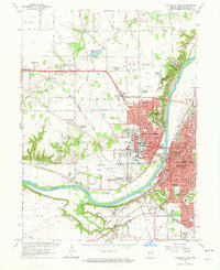
1961 Map of Lafayette West
USGS Topo · Published 1964About this map
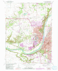
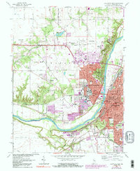
Purdue University serves as a dominant anchor in the mid-century development of Tippecanoe County, with its extensive specialized facilities like the Purdue University Airport, Dairy Farm, and Poultry Farm shaping the western landscape. The Wabash River creates a natural divide between the industrial and civic core of Lafayette, centered around the Courthouse and Armory, and the residential expansion of West Lafayette. This 1961 revision shows a period of significant suburban growth, seen in neighborhoods like Wabash Shores and Happy Hollow Heights. Along the riverbanks, historical markers such as the Ouiatenon Blockhouse and the Soldiers Home reflect the region's long-standing institutional and military history. The transportation network is dense, featuring the Monon and Norfolk and Western railroads crossing the river valley.
Find a feature on this map
84 named features on this map. Tap any name to fly to it.
Don’t see what you’re looking for? This feature index may not catch every label — zoom into the map to look around manually.
Map Details
Editions of this 1961 Lafayette West Map
6 editions found
Other maps of this area

1941 · Lafayette
USGS Topo · 1:24,000

1942 · Otterbein
USGS Topo · 1:24,000

1942 · Lafayette
USGS Topo · 1:24,000

1950 · Lafayette
USGS Topo · 1:24,000

1951 · Otterbein
USGS Topo · 1:24,000

1953 · Danville
USGS Topo · 1:250,000

1955 · Danville
USGS Topo · 1:250,000

1956 · Danville
USGS Topo · 1:250,000

1961 · Romney
USGS Topo · 1:24,000

1961 · Stockwell
USGS Topo · 1:24,000