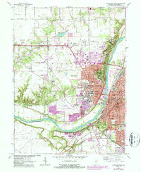
1961 Map of Lafayette West
USGS Topo · Published 1987About this map
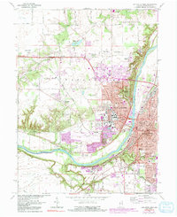
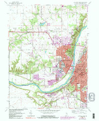
Purdue University serves as the central anchor for this mid-century look at the Greater Lafayette area, surrounded by extensive research facilities like the Purdue University Horticulture Farm and the Purdue University Airport. The city of West Lafayette is shown in detail, with suburban expansion marked by neighborhoods such as Bar-Barry Heights and Wabash Shores. Across the Wabash River, the historic street grid of Lafayette unfolds, revealing civic staples like the Courthouse and City Hall.
Find a feature on this map
118 named features on this map. Tap any name to fly to it.
Don’t see what you’re looking for? This feature index may not catch every label — zoom into the map to look around manually.
Map Details
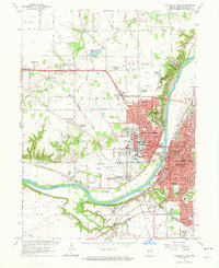
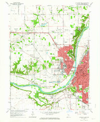
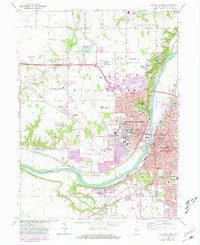
Editions of this 1961 Lafayette West Map
6 editions found
Other maps of this area

1941 · Lafayette
USGS Topo · 1:24,000

1942 · Otterbein
USGS Topo · 1:24,000

1942 · Lafayette
USGS Topo · 1:24,000

1950 · Lafayette
USGS Topo · 1:24,000

1951 · Otterbein
USGS Topo · 1:24,000

1953 · Danville
USGS Topo · 1:250,000

1955 · Danville
USGS Topo · 1:250,000

1956 · Danville
USGS Topo · 1:250,000

1961 · Romney
USGS Topo · 1:24,000

1961 · Stockwell
USGS Topo · 1:24,000