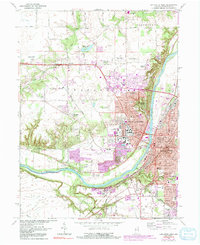
1961 Map of Lafayette West
USGS Topo · Published 1991About this map
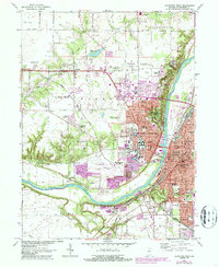
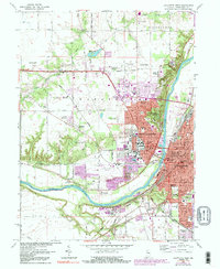
The Wabash River serves as the central artery for this twin-city landscape, dividing West Lafayette and Lafayette during a period of significant mid-century expansion. Purdue University dominates the western bank, with its sprawling campus and specialized facilities including the Purdue University Airport, Purdue University Horticulture Farm, and Purdue University Dairy Farm. This map highlights the region's institutional character, from the Soldiers Home and Wabash Sanitarium in the north to the Home for Aged in the south. Transportation networks are well-defined by the Norfolk and Western and Conrail lines, which supported the industrial and agricultural needs of settlements like Klondike and Elston. Cultural and historical landmarks like the Quiatenon Blockhouse and the Tippecanoe Memory Gardens Cemetery provide essential touchpoints for local historians and genealogists tracing the development of Tippecanoe County.
Find a feature on this map
74 named features on this map. Tap any name to fly to it.
Don’t see what you’re looking for? This feature index may not catch every label — zoom into the map to look around manually.
Map Details
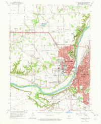
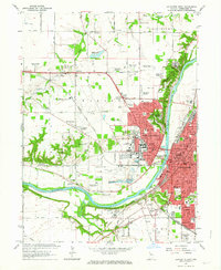
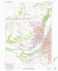
Editions of this 1961 Lafayette West Map
6 editions found
Other maps of this area

1941 · Lafayette
USGS Topo · 1:24,000

1942 · Otterbein
USGS Topo · 1:24,000

1942 · Lafayette
USGS Topo · 1:24,000

1950 · Lafayette
USGS Topo · 1:24,000

1951 · Otterbein
USGS Topo · 1:24,000

1953 · Danville
USGS Topo · 1:250,000

1955 · Danville
USGS Topo · 1:250,000

1956 · Danville
USGS Topo · 1:250,000

1961 · Romney
USGS Topo · 1:24,000

1961 · Stockwell
USGS Topo · 1:24,000