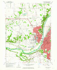
1961 Map of Lafayette West
USGS Topo · Published 1972About this map
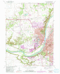
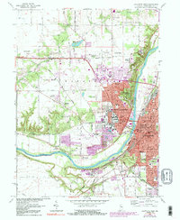
The Purdue University campus and its extensive agricultural research facilities dominate this landscape during a period of significant mid-century expansion. While the urban centers of Lafayette and West Lafayette flank the Wabash River, the surrounding terrain is defined by specialized university sites including the Purdue University Airport, the Purdue University Agronomy Farm, and the Purdue University Horticulture Farm. This academic and scientific footprint reaches into the rural sections of Union and Wabash townships, where older landmarks like the Ouiatenon Blockhouse and Mt Zion Ch remain visible.
Find a feature on this map
67 named features on this map. Tap any name to fly to it.
Don’t see what you’re looking for? This feature index may not catch every label — zoom into the map to look around manually.
Map Details
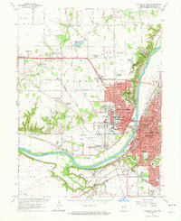
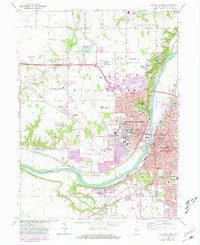
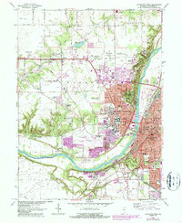
Editions of this 1961 Lafayette West Map
6 editions found
Other maps of this area

1941 · Lafayette
USGS Topo · 1:24,000

1942 · Otterbein
USGS Topo · 1:24,000

1942 · Lafayette
USGS Topo · 1:24,000

1950 · Lafayette
USGS Topo · 1:24,000

1951 · Otterbein
USGS Topo · 1:24,000

1953 · Danville
USGS Topo · 1:250,000

1955 · Danville
USGS Topo · 1:250,000

1956 · Danville
USGS Topo · 1:250,000

1961 · Romney
USGS Topo · 1:24,000

1961 · Stockwell
USGS Topo · 1:24,000