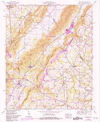
1958 Map of Brooksville
USGS Topo · Published 1983About this map
Tennessee Valley Divide snakes across this North Alabama landscape, marking the high ground between the Big Spring Creek and Spring Creek watersheds. The area is characterized by a dense network of rural life in the mid-20th century, where crossroads communities like Brooksville and Snead served as local anchors. Numerous family-named landmarks and institutions, such as the Summit Sch and Eargle Sch, alongside several cemeteries like Holland Cem, suggest a deeply rooted residential history in this portion of Blount County.
Find a feature on this map
67 named features on this map. Tap any name to fly to it.
Don’t see what you’re looking for? This feature index may not catch every label — zoom into the map to look around manually.
Map Details
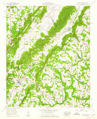
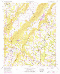
Editions of this 1958 Brooksville Map
3 editions found
Other maps of this area

1885 · Gadsden
USGS Topo · 1:125,000

1888 · Cullman
USGS Topo · 1:125,000

1888 · Gadsden
USGS Topo · 1:125,000

1892 · Cullman
USGS Topo · 1:125,000

1892 · Gadsden
USGS Topo · 1:125,000

1895 · Gadsden
USGS Topo · 1:125,000

1903 · Gadsden
USGS Topo · 1:125,000

1936 · Guntersville
USGS Topo · 1:24,000

1936 · Hulaco
USGS Topo · 1:24,000

1936 · Arab
USGS Topo · 1:24,000