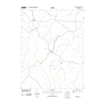
2010 Map of Brooksville
USGS Topo · Published 2010About this map
Brooksville serves as the central hub for this portion of Bracken County, where the convergence of rural routes like Brooksville-Chatham Rd and S Bluegrass Rd defines the local navigation. The landscape is deeply etched by a network of waterways including Locust Creek, Goose Creek, and the Brooksville Reservoir, which dominate the central topography. In the north, the Walcott Covered Bridge stands near Woolcott, a notable structural landmark over the water.
Find a feature on this map
44 named features on this map. Tap any name to fly to it.
Don’t see what you’re looking for? This feature index may not catch every label — zoom into the map to look around manually.
Map Details
Editions of this 2010 Brooksville Map
This is the sole edition of this map. No revisions or reprints were ever made.
Other maps of this area

1915 · Maysville
USGS Topo · 1:62,500

1919 · Maysville
USGS Topo · 1:62,500

1928 · Higginsport
USGS Topo · 1:48,000

1931 · Felicity
USGS Topo · 1:62,500

1931 · Higginsport
USGS Topo · 1:62,500

1952 · Germantown
USGS Topo · 1:24,000

1952 · Higginsport
USGS Topo · 1:24,000

1952 · Sardis
USGS Topo · 1:24,000

1952 · Mount Olivet
USGS Topo · 1:24,000

1952 · Berlin
USGS Topo · 1:24,000