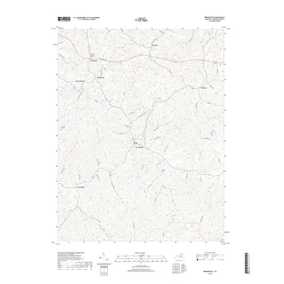
2019 Map of Brooksville
USGS Topo · Published 2019About this map
The Walcott Covered Bridge spans Goose Cr near Woolcott, serving as a notable landmark in this part of Bracken County. The landscape is defined by the branching drainages of Locust Cr, Turtle Crk, and Willow Cr, which carve through the plateau and create prominent features like Chatham Ridge. The county seat of Brooksville serves as the central hub, surrounded by smaller rural settlements including Powersville, Gertrude, and Cumminsville.
Find a feature on this map
58 named features on this map. Tap any name to fly to it.
Don’t see what you’re looking for? This feature index may not catch every label — zoom into the map to look around manually.
Map Details
Editions of this 2019 Brooksville Map
This is the sole edition of this map. No revisions or reprints were ever made.
Other maps of this area

1915 · Maysville
USGS Topo · 1:62,500

1919 · Maysville
USGS Topo · 1:62,500

1928 · Higginsport
USGS Topo · 1:48,000

1931 · Felicity
USGS Topo · 1:62,500

1931 · Higginsport
USGS Topo · 1:62,500

1952 · Germantown
USGS Topo · 1:24,000

1952 · Higginsport
USGS Topo · 1:24,000

1952 · Sardis
USGS Topo · 1:24,000

1952 · Mount Olivet
USGS Topo · 1:24,000

1952 · Berlin
USGS Topo · 1:24,000