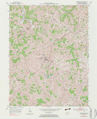
2022 Map of Brooksville
USGS Topo · Published 2022About this map
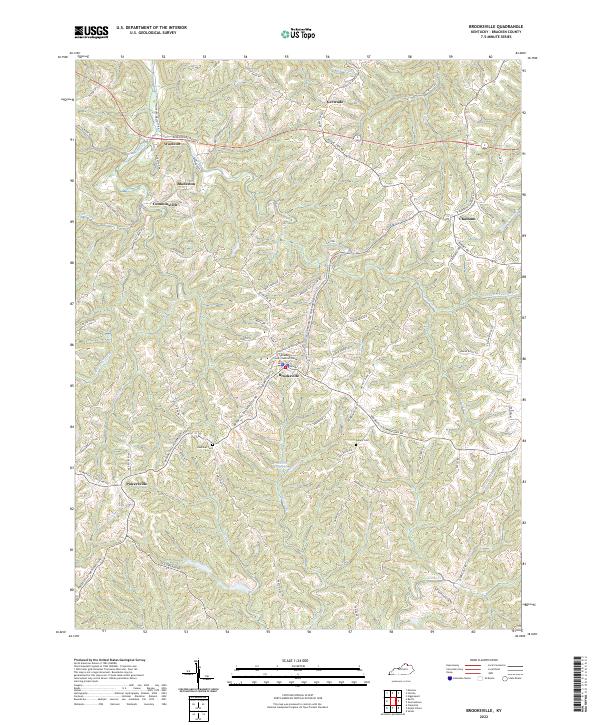
Brooksville serves as the focal point of this Kentucky landscape, anchored by the Bracken County Judicial Center and an intricate network of rural roads that fan out across the ridge-and-valley terrain. The settlement pattern is defined by historic crossroads such as Powersville to the southwest and Chatham in the northeast, connected by the winding Brooksville-Chatham Rd. These smaller communities, along with Woolcott, Gertrude, and Cumminsville, illustrate the enduring nature of local family-centered geography in Bracken County.
Find a feature on this map
81 named features on this map. Tap any name to fly to it.
Don’t see what you’re looking for? This feature index may not catch every label — zoom into the map to look around manually.
Map Details
Editions of this 2022 Brooksville Map
This is the sole edition of this map. No revisions or reprints were ever made.