Loading...
Loading map...2022 Map of Brooksville
USGS Topo · Published 2022About this map
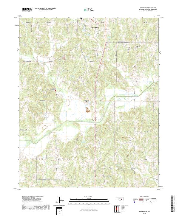
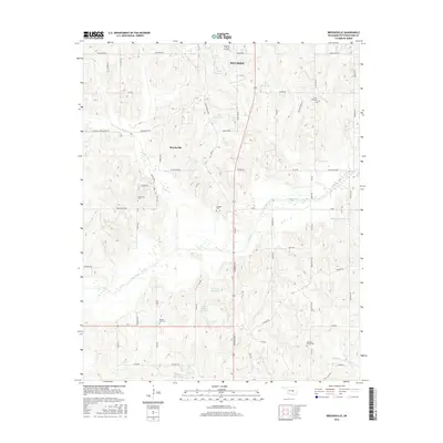
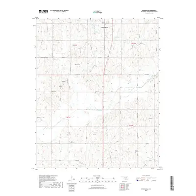
Brooksville and the southern outskirts of Tecumseh anchor this landscape in central Pottawatomie County. The map reveals a rural character defined by numerous family and community landmarks, particularly the high concentration of burial grounds such as Prairie View Cem, Forest Hill Cem, and Ruggles Cem. These sites, often situated near intersecting country roads like Highland Rd and Rangeline Rd, serve as vital anchors for genealogical research in the region.
Find a feature on this map
76 named features on this map. Tap any name to fly to it.
Don’t see what you’re looking for? This feature index may not catch every label — zoom into the map to look around manually.
Map Details
Date Portrayed2022
Date Published2022
PublisherU.S. Geological Survey
Map TypeTopographic
Scale1:24,000
Physical Dimensions24 x 29 inches
Editions of this 2022 Brooksville Map
This is the sole edition of this map. No revisions or reprints were ever made.
Historical Maps of Tecumseh Through Time
6 maps found
Featured Locations
Source Details
SourceU.S. Geological Survey
CopyrightPublic Domain