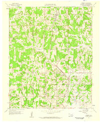
1958 Map of Tribbey
USGS Topo · Published 1959About this map
Tribbey and Trousdale anchor this late-1950s survey of central Oklahoma, a landscape defined by the winding paths of Salt Creek and Council Creek. The Atchison Topeka and Santa Fe railroad cuts a diagonal line through the townships of Burnett and Eason, marking the primary transportation artery for these rural communities. The map captures a moment of active resource extraction, with numerous Oil Wells scattered across the eastern sections, particularly near Cottonwood Creek. Local history is deeply rooted in the small country institutions that served the scattered farms, such as Council Creek Ch, and the well-marked burial grounds including Friendship Cem and Tribbey Cem. The terrain is finely dissected by seasonal drainages like Hog Creek and Jumper Creek, illustrating the natural water network that dictated early settlement patterns in Pottawatomie County.
Find a feature on this map
18 named features on this map. Tap any name to fly to it.
Don’t see what you’re looking for? This feature index may not catch every label — zoom into the map to look around manually.
Map Details
Editions of this 1958 Tribbey Map
2 editions found
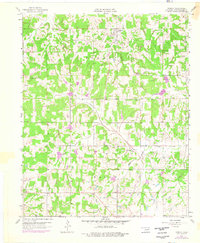
Other maps of this area

1896 · Seminole and Prague
USGS Topo · 1:125,000

1898 · Purcell
USGS Topo · 1:125,000

1898 · Pauls Valley
USGS Topo · 1:125,000

1901 · Stonewall
USGS Topo · 1:125,000

1902 · Pauls Valley
USGS Topo · 1:125,000

1907 · Maud
USGS Topo · 1:62,500

1908 · Maud
USGS Topo · 1:62,500

1910 · McComb
USGS Topo · 1:62,500

1954 · Oklahoma City
USGS Topo · 1:250,000

1957 · Ardmore
USGS Topo · 1:250,000