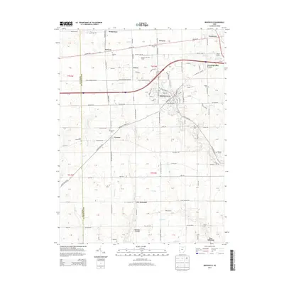
2013 Map of Brookville
USGS Topo · Published 2013About this map
The town of Brookville serves as the central hub of this modern survey, where the convergence of Interstate 70 and various state routes has shaped the 21st-century landscape of Montgomery County. Local history and genealogy are well-preserved through numerous small burying grounds scattered across the grid, including the Bachman Cem, Arlington Cem, and Eversole Cem. The landscape is defined by the drainage of Wolf Creek and its many tributaries like Toms Run and Lick Run, which cut through the agricultural sections between established communities.
Find a feature on this map
132 named features on this map. Tap any name to fly to it.
Don’t see what you’re looking for? This feature index may not catch every label — zoom into the map to look around manually.
Map Details
Editions of this 2013 Brookville Map
This is the sole edition of this map. No revisions or reprints were ever made.
Other maps of this area
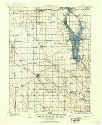
1905 · Brookville
USGS Topo · 1:62,500
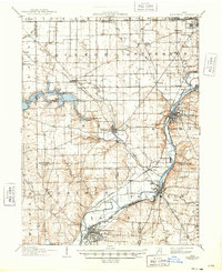
1908 · Miamisburg
USGS Topo · 1:62,500
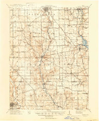
1911 · Oxford
USGS Topo · 1:62,500

1953 · Cincinnati
USGS Topo · 1:250,000
1955 · Miamisburg
USGS Topo · 1:24,000
1955 · West Milton
USGS Topo · 1:24,000
1955 · Trotwood
USGS Topo · 1:24,000

1957 · Cincinnati
USGS Topo · 1:250,000
1960 · Farmersville
USGS Topo · 1:24,000
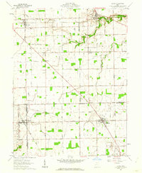
1961 · Laura
USGS Topo · 1:24,000