
1899 Map of Brookwood
USGS Topo · Published 1899About this map
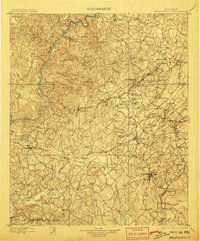
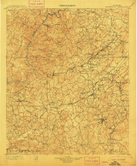
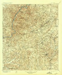
The Warrior River and Cahaba River define the industrial and natural corridors of central Alabama in this 1890s-era survey. Dense railway networks, including the Birmingham Mineral R. R. and the Alabama Great Southern R. R., weave through coal and iron districts, connecting settlements like Brookwood and Goethite. The landscape is a complex mix of heavy industry and rural community life, marked by numerous country churches such as Antioch Ch. and Ruhama Ch..
Find a feature on this map
149 named features on this map. Tap any name to fly to it.
Don’t see what you’re looking for? This feature index may not catch every label — zoom into the map to look around manually.
Map Details
Editions of this 1899 Brookwood Map
4 editions found
Other maps of this area

1889 · Birmingham
USGS Topo · 1:125,000

1890 · Bessemer
USGS Topo · 1:125,000

1891 · Clanton
USGS Topo · 1:125,000

1892 · Birmingham
USGS Topo · 1:125,000

1892 · Bessemer
USGS Topo · 1:125,000

1893 · Jasper
USGS Topo · 1:125,000

1895 · Birmingham
USGS Topo · 1:125,000

1904 · Birmingham Coal District
USGS Topo · 1:62,500

1905 · Bessemer Iron District
USGS Topo · 1:62,500

1906 · Birmingham Special
USGS Topo · 1:62,500