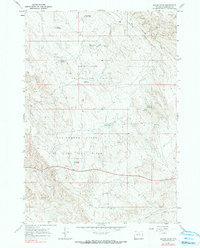
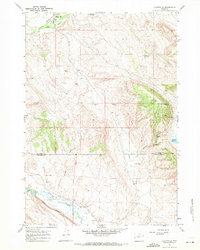
1967 Map of Broom Draw
USGS Topo · Published 1991About this map
Hidden Dome Oil and Gas Field and the Cottonwood Creek Oil and Gas Field dominate this pocket of Washakie County, reflecting the industrial development of the Wyoming basin during the mid-1960s. The landscape is characterized by a high density of Drill Holes, Oil Wells, and specialized water management features such as the Pumpjack Reservoir and Hanger Reservoir. The reliance on these man-made catchments, including the Silted Reservoir and Badger Reservoir, highlights the arid nature of the terrain and the necessary infrastructure required to support energy extraction in the desert. Natural drainages like Broom Draw and Cottonwood Creek cut through the region, while evidence of earlier mineral exploration remains visible in the various Prospects scattered across the northern ridges.
Find a feature on this map
19 named features on this map. Tap any name to fly to it.
Don’t see what you’re looking for? This feature index may not catch every label — zoom into the map to look around manually.
Map Details
Editions of this 1967 Broom Draw Map
2 editions found
Other maps of this area

1955 · Sheridan
USGS Topo · 1:250,000

1955 · Arminto
USGS Topo · 1:250,000

1958 · Sheridan
USGS Topo · 1:250,000

1958 · Arminto
USGS Topo · 1:250,000

1962 · Sheridan
USGS Topo · 1:250,000

1962 · Arminto
USGS Topo · 1:250,000

1966 · Cabin Fork
USGS Topo · 1:24,000
1966 · Banjo Flats East
USGS Topo · 1:24,000
1966 · Castle Gardens
USGS Topo · 1:24,000
1967 · Hyattville
USGS Topo · 1:24,000