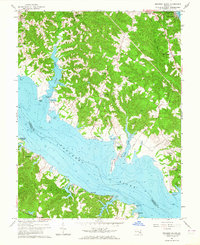
1963 Map of Broomes Island
USGS Topo · Published 1964About this map
Broomes Island sits at the narrow junction where the Patuxent River meets the Chesapeake bay-side landscape of Calvert County. In the early 1960s, this area reflects a deep maritime and agricultural heritage, centered on landings such as Parker Wharf and Williams Wharf. The river acts as a primary geographic divider, separating settlements like Drumcliff and Sotterley in Saint Marys County from the northern hamlets of Adelina and Mutual.
Find a feature on this map
53 named features on this map. Tap any name to fly to it.
Don’t see what you’re looking for? This feature index may not catch every label — zoom into the map to look around manually.
Map Details
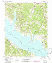
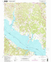
Editions of this 1963 Broomes Island Map
3 editions found
Other maps of this area

1892 · Leonardtown
USGS Topo · 1:62,500

1892 · Drum Point
USGS Topo · 1:62,500

1892 · Prince Frederick
USGS Topo · 1:62,500

1893 · Sharps Island
USGS Topo · 1:62,500

1895 · Prince Frederick
USGS Topo · 1:62,500

1895 · Leonardtown
USGS Topo · 1:62,500

1895 · Nomini
USGS Topo · 1:125,000

1898 · Choptank
USGS Topo · 1:125,000

1898 · Nomini
USGS Topo · 1:125,000

1898 · St. Marys
USGS Topo · 1:125,000