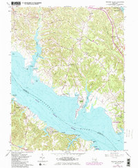
1963 Map of Broomes Island
USGS Topo · Published 1986About this map
Broomes Island and the surrounding Chesapeake tidewater landscapes of Calvert County are defined by a network of deep-water creeks and historic river landings in this mid-century record. The geography highlights the maritime importance of the Patuxent River, which separates Calvert and Saint Marys counties. Inland, the settlement patterns of Saint Leonard and Port Republic are connected by local routes like Parran Road and Wharf Road, reflecting a legacy of water-dependent commerce.
Find a feature on this map
51 named features on this map. Tap any name to fly to it.
Don’t see what you’re looking for? This feature index may not catch every label — zoom into the map to look around manually.
Map Details
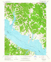
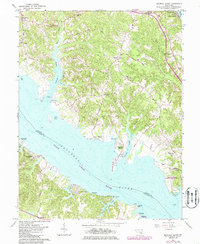
Editions of this 1963 Broomes Island Map
3 editions found
Other maps of this area

1892 · Leonardtown
USGS Topo · 1:62,500

1892 · Drum Point
USGS Topo · 1:62,500

1892 · Prince Frederick
USGS Topo · 1:62,500

1893 · Sharps Island
USGS Topo · 1:62,500

1895 · Prince Frederick
USGS Topo · 1:62,500

1895 · Leonardtown
USGS Topo · 1:62,500

1895 · Nomini
USGS Topo · 1:125,000

1898 · Choptank
USGS Topo · 1:125,000

1898 · Nomini
USGS Topo · 1:125,000

1898 · St. Marys
USGS Topo · 1:125,000