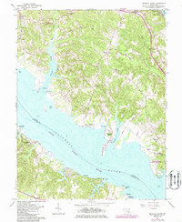
1963 Map of Broomes Island
USGS Topo · Published 1986About this map
The Patuxent River divides Calvert and Saint Marys counties in this mid-century survey, showcasing a landscape defined by deep tidal creeks and historic landings. Along the eastern shore, Broomes Island serves as a focal point for the riverside community, while the surrounding interior is dotted with rural settlements like Wallville, Mutual, and Adelina. The map highlights significant conservation and heritage sites, including the Battle Creek Cypress Swamp Nature Sanctuary and the Jefferson Patterson Historical Park and Museum near Mackall.
Find a feature on this map
52 named features on this map. Tap any name to fly to it.
Don’t see what you’re looking for? This feature index may not catch every label — zoom into the map to look around manually.
Map Details
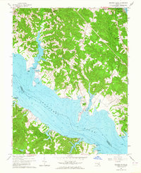
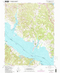
Editions of this 1963 Broomes Island Map
3 editions found
Other maps of this area

1892 · Leonardtown
USGS Topo · 1:62,500

1892 · Drum Point
USGS Topo · 1:62,500

1892 · Prince Frederick
USGS Topo · 1:62,500

1893 · Sharps Island
USGS Topo · 1:62,500

1895 · Prince Frederick
USGS Topo · 1:62,500

1895 · Leonardtown
USGS Topo · 1:62,500

1895 · Nomini
USGS Topo · 1:125,000

1898 · Choptank
USGS Topo · 1:125,000

1898 · Nomini
USGS Topo · 1:125,000

1898 · St. Marys
USGS Topo · 1:125,000