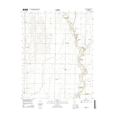
2015 Map of Broseley
USGS Topo · Published 2015About this map
The Saint Francis River defines the eastern boundary of this Southeast Missouri landscape, winding through a complex network of drainage ditches and sloughs. This 2015 survey reveals an engineered agricultural environment where natural watercourses like Lake Slough and Otter Slough coexist with a grid of man-made channels, including Ditch Number 17 and Ditch Number 21. The settlement pattern follows a linear North-South orientation along the western corridor, anchored by Broseley and smaller communities such as Rossville, Batesville, and Nyssa.
Find a feature on this map
61 named features on this map. Tap any name to fly to it.
Don’t see what you’re looking for? This feature index may not catch every label — zoom into the map to look around manually.
Map Details
Editions of this 2015 Broseley Map
This is the sole edition of this map. No revisions or reprints were ever made.
Other maps of this area

1934 · Puxico
USGS Topo · 1:62,500

1935 · Poplar Bluff
USGS Topo · 1:62,500

1935 · Harviell
USGS Topo · 1:62,500

1939 · Puxico
USGS Topo · 1:62,500

1939 · Poplar Bluff
USGS Topo · 1:62,500

1940 · Valley Ridge
USGS Topo · 1:62,500

1949 · Poplar Bluff
USGS Topo · 1:62,500

1956 · Valley Ridge
USGS Topo · 1:62,500

1957 · Poplar Bluff
USGS Topo · 1:250,000

1959 · Poplar Bluff
USGS Topo · 1:250,000