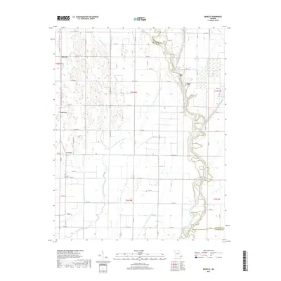
2017 Map of Broseley
USGS Topo · Published 2017About this map
The Saint Francis River snakes along the eastern edge of this landscape, its winding course punctuated by riverine landmarks like Upper Shoals, Middle Shoals, and Lower Shoals. This region of Butler and Stoddard counties is defined by an extensive drainage system designed to manage the low-lying terrain, including Ditch Number 16, Ditch Number 17, and the curiously named Menorkenut Slough Number 19.
Find a feature on this map
77 named features on this map. Tap any name to fly to it.
Don’t see what you’re looking for? This feature index may not catch every label — zoom into the map to look around manually.
Map Details
Editions of this 2017 Broseley Map
This is the sole edition of this map. No revisions or reprints were ever made.
Other maps of this area

1934 · Puxico
USGS Topo · 1:62,500

1935 · Poplar Bluff
USGS Topo · 1:62,500

1935 · Harviell
USGS Topo · 1:62,500

1939 · Puxico
USGS Topo · 1:62,500

1939 · Poplar Bluff
USGS Topo · 1:62,500

1940 · Valley Ridge
USGS Topo · 1:62,500

1949 · Poplar Bluff
USGS Topo · 1:62,500

1956 · Valley Ridge
USGS Topo · 1:62,500

1957 · Poplar Bluff
USGS Topo · 1:250,000

1959 · Poplar Bluff
USGS Topo · 1:250,000