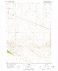
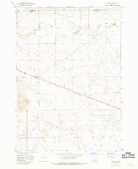
1967 Map of Brothers SW
USGS Topo · Published 1978About this map
Dry River meanders across this high desert landscape, carving a prominent path through the boundary between Crook County and Deschutes County. The terrain is defined by the elevation of Pine Ridge in the south, while the northern expanse is marked by scattered water sources essential for life in this arid region. These localized hubs, including Government Well, Israel Well, and King Well, speak to the logistical challenges of land management and grazing in Central Oregon during the late 1960s. The map also records the presence of Twin Pines as a distinct navigational landmark amidst the rising contours. Precise elevation markers, such as BM 4380 and BM 4593, provide a technical framework for the area's geography as it was recorded during this 1967 field survey.
Find a feature on this map
15 named features on this map. Tap any name to fly to it.
Don’t see what you’re looking for? This feature index may not catch every label — zoom into the map to look around manually.
Map Details
Editions of this 1967 Brothers SW Map
2 editions found
Other maps of this area

1955 · Crescent
USGS Topo · 1:250,000

1957 · Crescent
USGS Topo · 1:250,000

1958 · Crescent
USGS Topo · 1:250,000

1966 · Millican SE
USGS Topo · 1:24,000

1967 · Brothers NW
USGS Topo · 1:24,000
1967 · Sugarloaf Butte
USGS Topo · 1:24,000
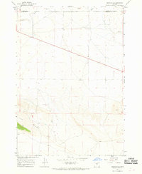
1967 · Brothers SW
USGS Topo · 1:24,000
1967 · West Butte
USGS Topo · 1:24,000
1967 · Brothers
USGS Topo · 1:24,000

1970 · Crescent
USGS Topo · 1:250,000