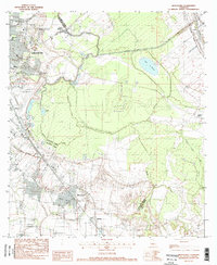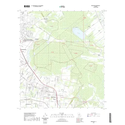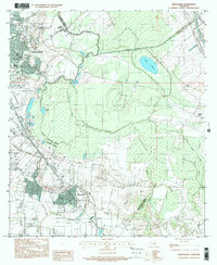
1999 Map of Broussard
USGS Topo · Published 2000About this map
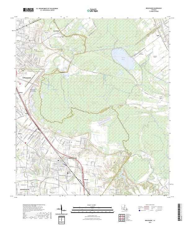
Lafayette and its southeastern neighbor Broussard anchor this 1990s landscape, where the urban expansion of the city meets the established agricultural patterns of Lafayette and St. Martin Parishes. The map reveals a complex water network essential to the region's character, defined by the Vermilion River and Bayou Teche, alongside engineered features like the Evangeline Canal and several coulees. This era of development is captured in the footprint of the Lafayette Regional Airport and the educational presence of the Holy Rosary Institute. Smaller settlements such as Billeaud, Pilette, and Elks are situated amongst the low-lying terrain of Cypress Island and Lake la Pointe. The transition from older river-bound communities like Ruth to modern infrastructure is evident in the inclusion of the Long Bridge, showing how the natural bayous have been bridged by 20th-century growth.
Find a feature on this map
25 named features on this map. Tap any name to fly to it.
Don’t see what you’re looking for? This feature index may not catch every label — zoom into the map to look around manually.
Map Details
Editions of this 1999 Broussard Map
This is the sole edition of this map. No revisions or reprints were ever made.
Historical Maps of Lafayette Through Time
7 maps found