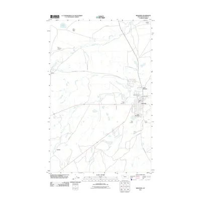
2011 Map of Browning
USGS Topo · Published 2011About this map
Browning and its surrounding tri-part settlement pattern of North Browning and South Browning anchor this 2011 survey of the Blackfeet Indian Reservation. The map documents the administrative and civic infrastructure of the area, including the Blackfeet Agency, the Browning Post Office, and the Browning Vol Fire Dept. Outside the primary residential core, the landscape transitions into the wide expanse of Starr School Flat, marked by aviation and transit markers like the Starr-Browning Airstrip and the southern settlement of Durham.
Find a feature on this map
32 named features on this map. Tap any name to fly to it.
Don’t see what you’re looking for? This feature index may not catch every label — zoom into the map to look around manually.
Map Details
Editions of this 2011 Browning Map
This is the sole edition of this map. No revisions or reprints were ever made.
Other maps of this area
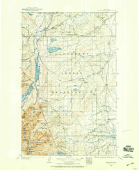
1901 · Browning
USGS Topo · 1:125,000
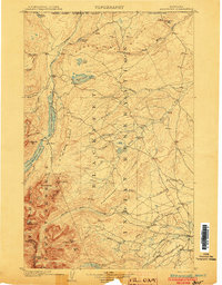
1903 · Browning
USGS Topo · 1:125,000
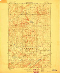
1911 · Blackfoot
USGS Topo · 1:125,000
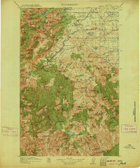
1913 · Marias Pass
USGS Topo · 1:125,000
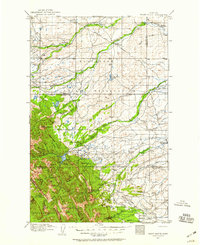
1914 · Heart Butte
USGS Topo · 1:125,000
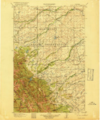
1918 · Heart Butte
USGS Topo · 1:125,000
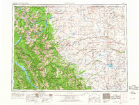
1960 · Cut Bank
USGS Topo · 1:250,000
1963 · Cut Bank
USGS Topo · 1:250,000
1964 · Cut Bank
USGS Topo · 1:250,000
1968 · Browning NE
USGS Topo · 1:24,000