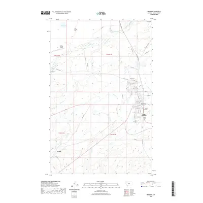
2020 Map of Browning
USGS Topo · Published 2020About this map
Blackfeet Community College serves as a central landmark in this high-plains landscape, where the town of Browning and its neighbors North Browning and South Browning form a regional hub. The geography is defined by a network of seasonal and perennial waterways like Cut Bank Cr and Flatiron Creek, which have influenced the layout of local infrastructure and land use. For those researching family history in Glacier County, the map identifies several significant burial sites, including Birdrattler Cem to the north and Willow Creek Cem to the south. Further west, the terrain transitions at Starr School Flat and the small settlement of Durham, while the Starr-Browning Airstrip highlights the importance of aviation in these wide-open spaces. This 2020 record documents the modern road system, from Bureau of Indian Affairs routes like Bia RD 1 to local stretches like Starr School Rd.
Find a feature on this map
56 named features on this map. Tap any name to fly to it.
Don’t see what you’re looking for? This feature index may not catch every label — zoom into the map to look around manually.
Map Details
Editions of this 2020 Browning Map
This is the sole edition of this map. No revisions or reprints were ever made.
Other maps of this area

1901 · Browning
USGS Topo · 1:125,000

1903 · Browning
USGS Topo · 1:125,000

1911 · Blackfoot
USGS Topo · 1:125,000

1913 · Marias Pass
USGS Topo · 1:125,000

1914 · Heart Butte
USGS Topo · 1:125,000

1918 · Heart Butte
USGS Topo · 1:125,000

1960 · Cut Bank
USGS Topo · 1:250,000

1963 · Cut Bank
USGS Topo · 1:250,000

1964 · Cut Bank
USGS Topo · 1:250,000

1968 · Browning NE
USGS Topo · 1:24,000