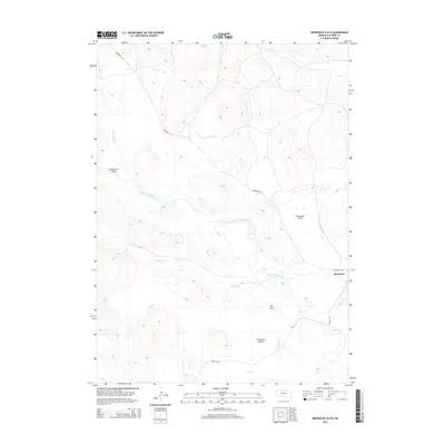
2014 Map of Brownlee Flats
USGS Topo · Published 2014About this map
The Brownlee settlement sits along the winding course of the North Loup River, marking a human foothold in the expansive sandhills of Cherry County. This 2014 survey reveals a landscape defined by its wide drainage basins and specific topographical depressions, including Brownlee Flats and Lee Flats. The interaction between the local hydrology and the terrain is evident in the path of Brush Cr and Pass Cr, which feed into the primary river system from the surrounding valleys.
Find a feature on this map
11 named features on this map. Tap any name to fly to it.
Don’t see what you’re looking for? This feature index may not catch every label — zoom into the map to look around manually.
Map Details
Editions of this 2014 Brownlee Flats Map
This is the sole edition of this map. No revisions or reprints were ever made.
Other maps of this area

1948 · Seneca
USGS Topo · 1:62,500

1948 · Seneca 4
USGS Topo · 1:62,500

1949 · Seneca 4
USGS Topo · 1:62,500

1951 · Seneca
USGS Topo · 1:62,500

1951 · Bull Lake
USGS Topo · 1:62,500

1951 · Brownlee
USGS Topo · 1:62,500

1957 · Valentine
USGS Topo · 1:250,000

1959 · Valentine
USGS Topo · 1:250,000

1985 · Goose Creek
USGS Topo · 1:100,000
1985 · Brownlee
USGS Topo · 1:24,000