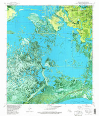
1982 Map of Browns Lake
USGS Topo · Published 1982About this map
Sabine National Wildlife Refuge dominates this coastal landscape, where the transition from marshland to industrial infrastructure is starkly evident. The northern reach of the map is defined by the West Hackberry Oil Field and the West Hackberry Strategic Petroleum Reserve, marking a critical era in American energy security. Narrow man-made waterways like the West Hackberry Canal and Starks North Canal cut through the wetlands, connecting larger water bodies such as Wild Cow Lake and Black Lake. The small settlement of Hebert and landmarks like the Hackberry High Sch provide a human anchor near the Hackberry Oil Field. Notable terrain features such as Back Ridge and Lost Ridge provide subtle elevation amidst a network of bayous and islands, including Vincent Island and Chinaberry Island, illustrating the complex hydrology of the Calcasieu Lake West Cove region.
Find a feature on this map
26 named features on this map. Tap any name to fly to it.
Don’t see what you’re looking for? This feature index may not catch every label — zoom into the map to look around manually.
Map Details
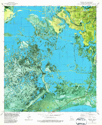
Editions of this 1982 Browns Lake Map
2 editions found
Other maps of this area

1932 · Moss Lake
USGS Topo · 1:31,680

1932 · Orange
USGS Topo · 1:62,500

1934 · Cameron
USGS Topo · 1:24,000

1934 · Holly Beach
USGS Topo · 1:24,000

1934 · Peveto Beach
USGS Topo · 1:24,000

1934 · Browns Lake
USGS Topo · 1:24,000

1934 · Five Lakes
USGS Topo · 1:24,000

1935 · Peveto Beach
USGS Topo · 1:31,680

1935 · Cameron
USGS Topo · 1:31,680

1935 · Five Lakes
USGS Topo · 1:31,680