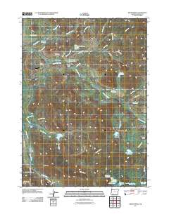
2011 Map of Brownsboro
USGS Topo · Published 2011About this map
Brownsboro and the surrounding Jackson County countryside are defined by a complex network of irrigation and water management features. The landscape is dotted with numerous small impoundments such as Woolfolk Reservoir, Trammel Reservoir, and the Bradshaw Reservoir Number Two, which support the region's agricultural activity. The presence of Brownsboro Cemetery and Miller Cemetery near the main settlement provides clear points of interest for those researching local family history.
Find a feature on this map
54 named features on this map. Tap any name to fly to it.
Don’t see what you’re looking for? This feature index may not catch every label — zoom into the map to look around manually.
Map Details
Editions of this 2011 Brownsboro Map
This is the sole edition of this map. No revisions or reprints were ever made.
Other maps of this area
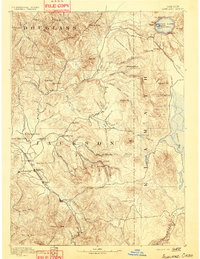
1891 · Ashland
USGS Topo · 1:250,000
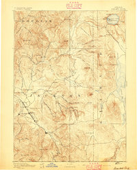
1893 · Ashland
USGS Topo · 1:250,000
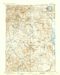
1897 · Ashland
USGS Topo · 1:250,000
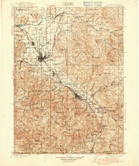
1938 · Medford
USGS Topo · 1:125,000
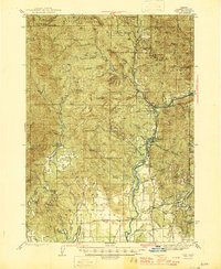
1943 · Trail
USGS Topo · 1:62,500
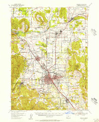
1954 · Medford
USGS Topo · 1:62,500
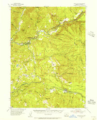
1954 · Butte Falls
USGS Topo · 1:62,500
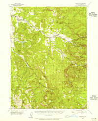
1954 · Lakecreek
USGS Topo · 1:62,500

1955 · Medford
USGS Topo · 1:250,000
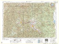
1957 · Medford
USGS Topo · 1:250,000