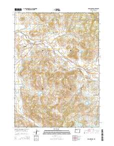
2014 Map of Brownsboro
USGS Topo · Published 2014About this map
Brownsboro sits at the heart of this landscape, where the Brownsboro Hwy meets Or-140 and Schoolhouse Rd. The area is defined by an intricate network of irrigation and water management, visible in the numerous reservoirs scattered throughout the foothills, including Woolfolk Reservoir, Trammel Reservoir, and Stanley Reservoir. These water features support the rural agricultural character of the region as it transitions toward more elevated terrain.
Find a feature on this map
64 named features on this map. Tap any name to fly to it.
Don’t see what you’re looking for? This feature index may not catch every label — zoom into the map to look around manually.
Map Details
Editions of this 2014 Brownsboro Map
This is the sole edition of this map. No revisions or reprints were ever made.
Other maps of this area

1891 · Ashland
USGS Topo · 1:250,000

1893 · Ashland
USGS Topo · 1:250,000

1897 · Ashland
USGS Topo · 1:250,000

1938 · Medford
USGS Topo · 1:125,000

1943 · Trail
USGS Topo · 1:62,500

1954 · Medford
USGS Topo · 1:62,500

1954 · Butte Falls
USGS Topo · 1:62,500

1954 · Lakecreek
USGS Topo · 1:62,500

1955 · Medford
USGS Topo · 1:250,000

1957 · Medford
USGS Topo · 1:250,000