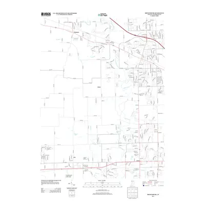
2013 Map of Brownsburg
USGS Topo · Published 2013About this map
Pittsboro and Avon anchor the northern and southern corners of this Hendricks County landscape, showcasing the transition from established rural towns to modern suburban development. The central portion of the map is defined by the small settlements of Tilden and Gale, while the winding corridors of West Fork White Lick Creek and White Lick Creek provide the primary drainage for the surrounding terrain. To the south, transportation and recreation are represented by the Hendricks County Airport-Gordon Graham Field and the Hendricks County Golf Course, illustrating the region's mid-century and later growth. Several residential enclaves and recreational water bodies, such as Southwind, Ledgewood Lake, and Indianhead Lake, appear throughout, reflecting the post-war trend of carving neighborhood developments into the agricultural fabric of central Indiana.
Find a feature on this map
61 named features on this map. Tap any name to fly to it.
Don’t see what you’re looking for? This feature index may not catch every label — zoom into the map to look around manually.
Map Details
Editions of this 2013 Brownsburg Map
This is the sole edition of this map. No revisions or reprints were ever made.
Other maps of this area

1953 · Bridgeport
USGS Topo · 1:24,000

1953 · Clayton
USGS Topo · 1:24,000

1953 · Fayette
USGS Topo · 1:24,000

1953 · Lizton
USGS Topo · 1:24,000

1953 · Danville
USGS Topo · 1:24,000

1953 · Brownsburg
USGS Topo · 1:24,000

1953 · Zionsville
USGS Topo · 1:24,000

1953 · Plainfield
USGS Topo · 1:24,000

1953 · Clermont
USGS Topo · 1:24,000

1953 · Indianapolis
USGS Topo · 1:250,000