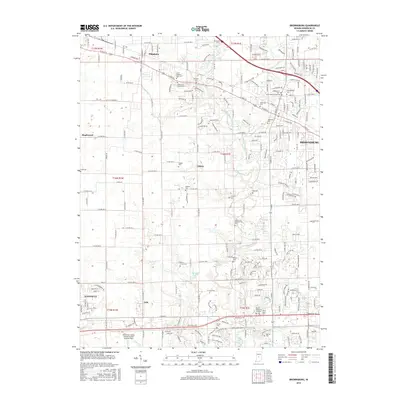
2016 Map of Brownsburg
USGS Topo · Published 2016About this map
Brownsburg and its surrounding townships in Hendricks County are defined by a network of suburban expansion and deep-rooted community sites along the White Lick Creek drainage. The landscape is dotted with numerous denominational and family burial grounds, including the Saint Malachy East Cem and White Lick Baptist Cem, which reflect the early religious foundations of the area. Transportation routes like Rockville Rd and E Main St connect the primary settlement to outlying areas like Pittsboro and Tilden. Modern infrastructure is represented by the Hendricks County Airport-Gordon Graham Field in the south, while recreational and residential water features such as Donahue Lake and Ledgewood Lake illustrate the transition from purely agricultural use to residential development. The map provides a precise look at the township and range divisions, showing the enduring grid of local roads like Osborne Ave.
Find a feature on this map
51 named features on this map. Tap any name to fly to it.
Don’t see what you’re looking for? This feature index may not catch every label — zoom into the map to look around manually.
Map Details
Editions of this 2016 Brownsburg Map
This is the sole edition of this map. No revisions or reprints were ever made.
Other maps of this area

1953 · Bridgeport
USGS Topo · 1:24,000

1953 · Clayton
USGS Topo · 1:24,000

1953 · Fayette
USGS Topo · 1:24,000

1953 · Lizton
USGS Topo · 1:24,000

1953 · Danville
USGS Topo · 1:24,000

1953 · Brownsburg
USGS Topo · 1:24,000

1953 · Zionsville
USGS Topo · 1:24,000

1953 · Plainfield
USGS Topo · 1:24,000

1953 · Clermont
USGS Topo · 1:24,000

1953 · Indianapolis
USGS Topo · 1:250,000