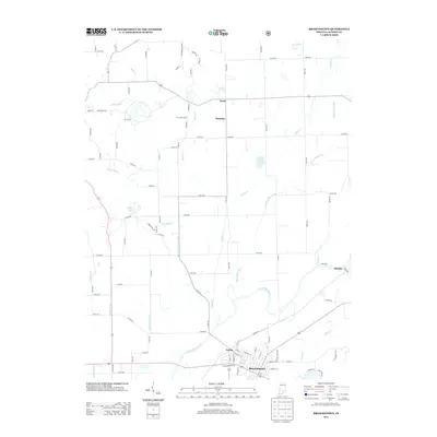
2013 Map of Brownstown
USGS Topo · Published 2013About this map
The E Fork White River anchors the southern portion of this Jackson County landscape, where the neighboring communities of Brownstown and Ewing serve as the primary centers of activity. This 2013 survey illustrates a complex water management system essential to the local agricultural economy, featuring numerous named waterways like Beatty Walker Ditch, Wayman Ditch, and Ball Richard Ditch. North of the river, the terrain transitions into a more rural grid characterized by small, evocative settlements such as Surprise and Acme.
Find a feature on this map
80 named features on this map. Tap any name to fly to it.
Don’t see what you’re looking for? This feature index may not catch every label — zoom into the map to look around manually.
Map Details
Editions of this 2013 Brownstown Map
This is the sole edition of this map. No revisions or reprints were ever made.
Other maps of this area

1942 · Franklin
USGS Topo · 1:125,000

1942 · Columbus
USGS Topo · 1:125,000

1948 · Waymansville
USGS Topo · 1:24,000

1953 · Cincinnati
USGS Topo · 1:250,000

1953 · Indianapolis
USGS Topo · 1:250,000

1956 · Indianapolis
USGS Topo · 1:250,000

1956 · Story
USGS Topo · 1:24,000

1956 · Vincennes
USGS Topo · 1:250,000

1956 · Louisville
USGS Topo · 1:250,000

1957 · Indianapolis
USGS Topo · 1:250,000