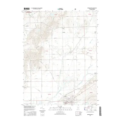
2016 Map of Brownstown
USGS Topo · Published 2016About this map
The East Fork White River anchors this southern Indiana landscape, winding past the settlements of Brownstown and Ewing. This area is defined by a transition from the agricultural lowlands of the river valley to the timbered elevations of the Hoosier National Forest in the northwest. Local family history is preserved in several small burial grounds across the quadrangle, including Wayman Cem, Smallwood Cem, and Robinson Cem.
Find a feature on this map
68 named features on this map. Tap any name to fly to it.
Don’t see what you’re looking for? This feature index may not catch every label — zoom into the map to look around manually.
Map Details
Editions of this 2016 Brownstown Map
This is the sole edition of this map. No revisions or reprints were ever made.
Other maps of this area

1942 · Franklin
USGS Topo · 1:125,000

1942 · Columbus
USGS Topo · 1:125,000

1948 · Waymansville
USGS Topo · 1:24,000

1953 · Cincinnati
USGS Topo · 1:250,000

1953 · Indianapolis
USGS Topo · 1:250,000

1956 · Indianapolis
USGS Topo · 1:250,000

1956 · Story
USGS Topo · 1:24,000

1956 · Vincennes
USGS Topo · 1:250,000

1956 · Louisville
USGS Topo · 1:250,000

1957 · Indianapolis
USGS Topo · 1:250,000