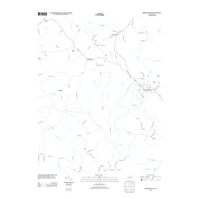
2013 Map of Brownsville
USGS Topo · Published 2013About this map
The Green River meanders through the heart of Edmonson County, carving a winding path past the county seat of Brownsville. This survey highlights a landscape defined by sharp elevation changes and river-bottom agriculture, with prominent landforms like Shipley Knob and Potato Hill rising above the surrounding hollows. In this early 21st-century portrait, the area maintains its rural character through established crossroads such as Windyville, Lindseyville, and Asphalt.
Find a feature on this map
113 named features on this map. Tap any name to fly to it.
Don’t see what you’re looking for? This feature index may not catch every label — zoom into the map to look around manually.
Map Details
Editions of this 2013 Brownsville Map
This is the sole edition of this map. No revisions or reprints were ever made.
Other maps of this area

1922 · Leitchfield
USGS Topo · 1:48,000

1922 · Brownsville
USGS Topo · 1:62,500

1922 · Mammoth Cave
USGS Topo · 1:62,500

1923 · Mammoth Cave
USGS Topo · 1:62,500

1923 · Brownsville
USGS Topo · 1:62,500

1925 · Cub Run
USGS Topo · 1:62,500

1925 · Leitchfield
USGS Topo · 1:62,500

1953 · Ready
USGS Topo · 1:24,000

1953 · Bee Spring
USGS Topo · 1:24,000

1954 · Evansville
USGS Topo · 1:250,000