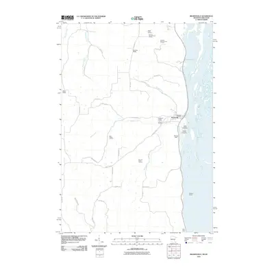
2010 Map of Brownsville
USGS Topo · Published 2010About this map
The Mississippi River corridor dominates this landscape, where the waters widen into Lawrence Lake and wrap around Browns Island. On the western shore, the settlement of Brownsville serves as a focal point, containing the Brownsville Post Office and providing river access via Wildcat Landing Public Access. The terrain to the west rises sharply into distinctive formations like German Ridge and Wildcat Bluff, which are carved by a network of drainages including Butterfield Creek and Wildcat Creek.
Find a feature on this map
44 named features on this map. Tap any name to fly to it.
Don’t see what you’re looking for? This feature index may not catch every label — zoom into the map to look around manually.
Map Details
Editions of this 2010 Brownsville Map
This is the sole edition of this map. No revisions or reprints were ever made.
Other maps of this area

1926 · Stoddard
USGS Topo · 1:62,500

1927 · La Crosse
USGS Topo · 1:62,500

1930 · La Crescent
USGS Topo · 1:62,500

1930 · La Crosse
USGS Topo · 1:62,500

1956 · Brownsville
USGS Topo · 1:62,500

1956 · La Crescent
USGS Topo · 1:62,500

1958 · La Crosse
USGS Topo · 1:250,000

1961 · La Crosse
USGS Topo · 1:250,000
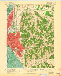
1963 · La Crosse
USGS Topo · 1:24,000
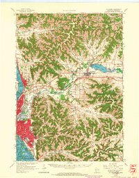
1963 · La Crosse
USGS Topo · 1:62,500