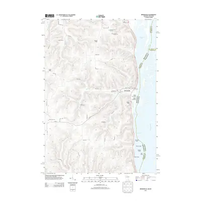
2013 Map of Brownsville
USGS Topo · Published 2013About this map
Mississippi River waters define the eastern edge of this 2013 survey, where the Raft Channel separates a series of islands from the mainland. The settlement of Brownsville serves as a focal point along the shoreline, situated beneath the heights of Wildcat Bluff. This landscape is deeply rooted in family history, evidenced by a remarkable concentration of private burial grounds and small cemeteries, including the Christoph Hammer Family Cem, Frederick Hammer Family Cem, and Neumann Family Cem.
Find a feature on this map
53 named features on this map. Tap any name to fly to it.
Don’t see what you’re looking for? This feature index may not catch every label — zoom into the map to look around manually.
Map Details
Editions of this 2013 Brownsville Map
This is the sole edition of this map. No revisions or reprints were ever made.
Other maps of this area

1926 · Stoddard
USGS Topo · 1:62,500

1927 · La Crosse
USGS Topo · 1:62,500

1930 · La Crescent
USGS Topo · 1:62,500

1930 · La Crosse
USGS Topo · 1:62,500

1956 · Brownsville
USGS Topo · 1:62,500

1956 · La Crescent
USGS Topo · 1:62,500

1958 · La Crosse
USGS Topo · 1:250,000

1961 · La Crosse
USGS Topo · 1:250,000
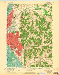
1963 · La Crosse
USGS Topo · 1:24,000
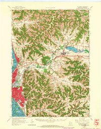
1963 · La Crosse
USGS Topo · 1:62,500