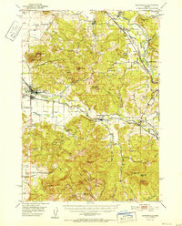
1952 Map of Brownsville
USGS Topo · Published 1952About this map
The Calapooya River and South Santiam River define the agricultural and timber valleys of Linn County in the early 1950s. The town of Brownsville serves as a central hub, connected to the surrounding countryside by the Oregon Electric line and local infrastructure like the Warren Ditch. The landscape is a mix of fertile bottomlands and prominent peaks such as Bald Peter, Scott Mountain, and Horse Rock.
Find a feature on this map
57 named features on this map. Tap any name to fly to it.
Don’t see what you’re looking for? This feature index may not catch every label — zoom into the map to look around manually.
Map Details
Editions of this 1952 Brownsville Map
This is the sole edition of this map. No revisions or reprints were ever made.
Other maps of this area
1909 · Rowland
USGS Topo · 1:31,680
1910 · Eugene
USGS Topo · 1:62,500
1911 · Brownsville
USGS Topo · 1:31,680
1911 · Lebanon
USGS Topo · 1:31,680
1911 · Tangent
USGS Topo · 1:31,680
1912 · Halsey
USGS Topo · 1:62,500
1916 · Albany
USGS Topo · 1:62,500
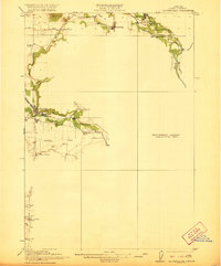
1921 · Brownsville
USGS Topo · 1:62,500
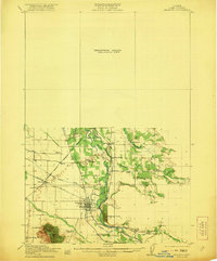
1921 · Lebanon
USGS Topo · 1:62,500
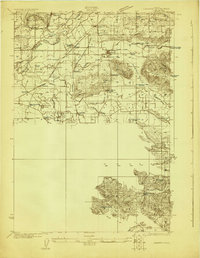
1922 · Lebanon
USGS Topo · 1:48,000