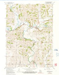
1962 Map of Browntown
USGS Topo · Published 1991About this map
The Pecatonica River and its East Branch carve a winding course through the borderlands of Wisconsin and Illinois, dictating the development of several small valley settlements. In the early 1960s, Browntown and South Wayne serve as primary hubs, connected by the Chicago Milwaukee St Paul and Pacific railroad which follows the river's flat floodplain. The landscape is dotted with rural institutions that suggest a once-denser agricultural population, including the Cadiz Center Sch and Rush Sch.
Find a feature on this map
36 named features on this map. Tap any name to fly to it.
Don’t see what you’re looking for? This feature index may not catch every label — zoom into the map to look around manually.
Map Details
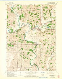
Editions of this 1962 Browntown Map
2 editions found
Other maps of this area

1920 · Monroe
USGS Topo · 1:62,500

1922 · Monroe
USGS Topo · 1:62,500

1923 · South Wayne
USGS Topo · 1:62,500

1937 · Lena
USGS Topo · 1:48,000

1939 · Freeport
USGS Topo · 1:48,000

1942 · Lena
USGS Topo · 1:62,500

1943 · Lena
USGS Topo · 1:62,500

1944 · Freeport
USGS Topo · 1:62,500

1954 · Rockford
USGS Topo · 1:250,000

1955 · Rockford
USGS Topo · 1:250,000