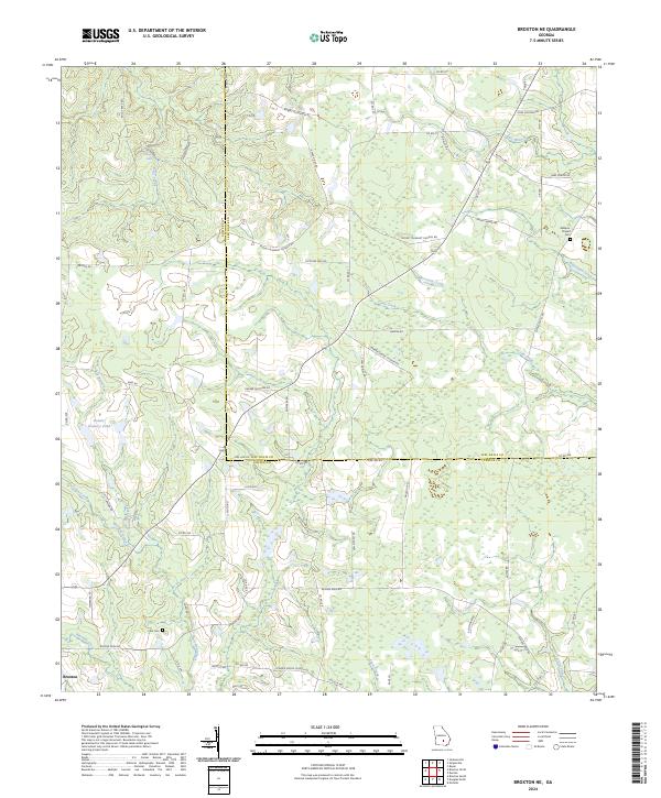
2024 Map of Broxton NE
USGS Topo · Published 2024About this map
Broxton sits at the southwestern edge of a landscape defined by the intricate drainage networks of the Georgia coastal plain. The territory is bisected by the county line between Coffee Co and Jeff Davis Co, where agricultural lands are interspersed with dense riparian corridors. Significant water features such as Moccasin Creek, Town Creek, and Broxton Creek carve through the terrain, while the presence of Rock Falls indicates a rare break in the typically steady elevation of the region.
Find a feature on this map
74 named features on this map. Tap any name to fly to it.
Don’t see what you’re looking for? This feature index may not catch every label — zoom into the map to look around manually.
Map Details
Editions of this 2024 Broxton NE Map
This is the sole edition of this map. No revisions or reprints were ever made.
Other maps of this area

1953 · Waycross
USGS Topo · 1:250,000

1958 · Waycross
USGS Topo · 1:250,000

1971 · Douglas North
USGS Topo · 1:24,000

1971 · Nicholls
USGS Topo · 1:24,000

1971 · Roper
USGS Topo · 1:24,000

1971 · Snipesville
USGS Topo · 1:24,000

1971 · Broxton NE
USGS Topo · 1:24,000

1971 · Denton
USGS Topo · 1:24,000

1972 · Broxton North
USGS Topo · 1:24,000

1972 · Jacksonville
USGS Topo · 1:24,000