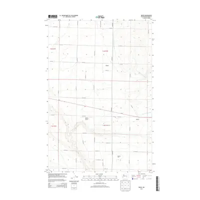
2013 Map of Bruce
USGS Topo · Published 2013About this map
Bruce and Koren anchor this agricultural landscape in Adams County, where the geometric precision of Washington's Columbia Basin irrigation infrastructure defines the terrain. The presence of the Kansas Prairie Siphon indicates the complex water management systems required for large-scale farming in this region. This modern topographic study reveals a dense network of section-line roads, such as S Booker Rd and W Hatton Rd, which segment the land into productive units. The Othello Municipal Airport serves as a central landmark for the area's aviation and logistics, while the broad expanse of Paradise Flats to the south illustrates the local topography. This 2013 survey captures the area's transition between industrial-scale agriculture and transportation corridors like Wa-26, providing a clear view of the regional rural infrastructure.
Find a feature on this map
71 named features on this map. Tap any name to fly to it.
Don’t see what you’re looking for? This feature index may not catch every label — zoom into the map to look around manually.
Map Details
Editions of this 2013 Bruce Map
This is the sole edition of this map. No revisions or reprints were ever made.
Other maps of this area

1916 · Connell
USGS Topo · 1:125,000

1918 · Connell
USGS Topo · 1:125,000

1924 · Othello
USGS Topo · 1:62,500

1925 · Scooteney Lake
USGS Topo · 1:62,500

1951 · Scooteney Lake
USGS Topo · 1:62,500

1953 · Walla Walla
USGS Topo · 1:250,000

1954 · Bruce
USGS Topo · 1:24,000

1954 · Warden
USGS Topo · 1:24,000

1954 · Soda Lake
USGS Topo · 1:24,000

1954 · Othello
USGS Topo · 1:24,000