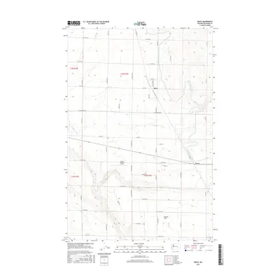
2017 Map of Bruce
USGS Topo · Published 2017About this map
The agricultural landscape of Adams County is defined by its rectilinear road grid and vital irrigation infrastructure, such as the Kansas Prairie Siphon. Small rail and road junctions like Bruce and Koren anchor the eastern and central portions of the map, representing the dispersed settlement pattern characteristic of Washington's central basin. The northern portion of the sheet is dominated by the sprawling Paradise Flats, a level terrain ideal for the large-scale farming supported by local roads like W Cunningham Rd and S Billington Rd. Aviation interests are represented by the Othello Municipal Airport, situated west of the core farming districts. This survey reflects the modern management of water and transit in an arid region, where family names are preserved on routes like Yeisley Rd and W Hatton Rd, marking decades of land ownership and rural development.
Find a feature on this map
39 named features on this map. Tap any name to fly to it.
Don’t see what you’re looking for? This feature index may not catch every label — zoom into the map to look around manually.
Map Details
Editions of this 2017 Bruce Map
This is the sole edition of this map. No revisions or reprints were ever made.
Other maps of this area

1916 · Connell
USGS Topo · 1:125,000

1918 · Connell
USGS Topo · 1:125,000

1924 · Othello
USGS Topo · 1:62,500

1925 · Scooteney Lake
USGS Topo · 1:62,500

1951 · Scooteney Lake
USGS Topo · 1:62,500

1953 · Walla Walla
USGS Topo · 1:250,000

1954 · Bruce
USGS Topo · 1:24,000

1954 · Warden
USGS Topo · 1:24,000

1954 · Soda Lake
USGS Topo · 1:24,000

1954 · Othello
USGS Topo · 1:24,000