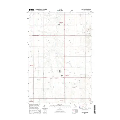
2014 Map of Bruce Crossing
USGS Topo · Published 2014About this map
Bruce Crossing serves as the central hub of this Upper Peninsula landscape, situated at the intersection of US Hwy 45 and M-28. This 2014 survey reveals a transition between the dense timberlands of the Ottawa National Forest and the structured grid of rural road systems. The northern reaches are defined by a complex drainage network, where the Baltimore River and its many tributaries, such as Hide Cr and Inkala Cr, carve through the forest. To the south and east, settlements like Gem and Balitmore appear alongside family-named routes such as Lepponen Rd and Jousma Rd. The presence of the Bruce Crossing Cem and numerous creek crossings like Saint Cullins Cr and Mile and One-half Creek provide clear markers for those tracing the development of Ontonagon County's interior.
Find a feature on this map
47 named features on this map. Tap any name to fly to it.
Don’t see what you’re looking for? This feature index may not catch every label — zoom into the map to look around manually.
Map Details
Editions of this 2014 Bruce Crossing Map
This is the sole edition of this map. No revisions or reprints were ever made.
Other maps of this area

1949 · Rockland
USGS Topo · 1:62,500

1951 · Rockland
USGS Topo · 1:62,500

1952 · Watersmeet
USGS Topo · 1:62,500

1952 · Thayer
USGS Topo · 1:62,500

1956 · Matchwood
USGS Topo · 1:62,500

1958 · Iron River
USGS Topo · 1:250,000

1960 · Iron River
USGS Topo · 1:250,000

1961 · Iron River
USGS Topo · 1:250,000

1967 · Iron River
USGS Topo · 1:250,000

1979 · Ontonagon
USGS Topo · 1:100,000