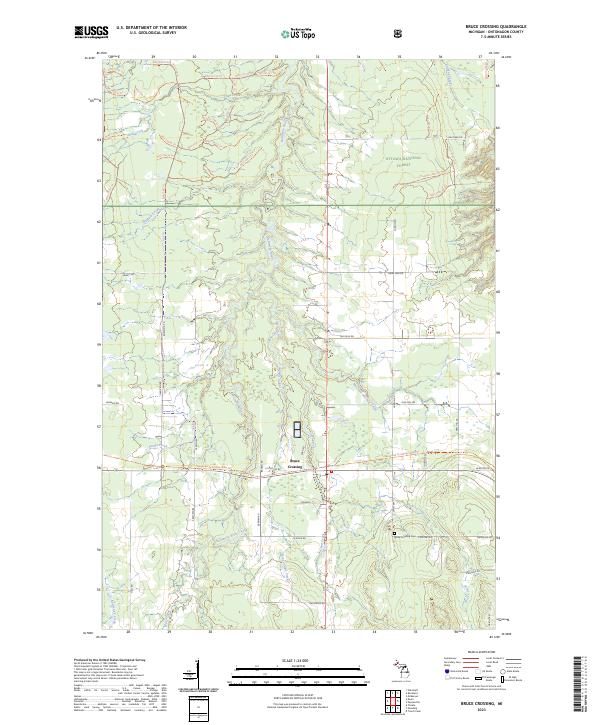
2023 Map of Bruce Crossing
USGS Topo · Published 2023About this map
Bruce Crossing serves as the central hub of this Upper Peninsula landscape, situated at the junction of modern transit and older wilderness corridors. The Baltimore River and its numerous tributaries, including Saint Cullins Creek and Clear Creek, drain the southern reaches of the Ottawa National Forest. A network of forest roads and trails, such as the Bergland to Sidnaw State Trl, indicates the region's heavy reliance on timber and outdoor recreation. Local genealogy is anchored by the Bruce Crossing Cem on Cemetery Rd, while family-named routes like Sironen Rd, Platzke Rd, and Nurkkala Rd offer clues to the homesteading patterns and agricultural history of this Ontonagon County community.
Find a feature on this map
74 named features on this map. Tap any name to fly to it.
Don’t see what you’re looking for? This feature index may not catch every label — zoom into the map to look around manually.
Map Details
Editions of this 2023 Bruce Crossing Map
This is the sole edition of this map. No revisions or reprints were ever made.
Other maps of this area

1949 · Rockland
USGS Topo · 1:62,500

1951 · Rockland
USGS Topo · 1:62,500

1952 · Watersmeet
USGS Topo · 1:62,500

1952 · Thayer
USGS Topo · 1:62,500

1956 · Matchwood
USGS Topo · 1:62,500

1958 · Iron River
USGS Topo · 1:250,000

1960 · Iron River
USGS Topo · 1:250,000

1961 · Iron River
USGS Topo · 1:250,000

1967 · Iron River
USGS Topo · 1:250,000

1979 · Ontonagon
USGS Topo · 1:100,000
Featured Places
- Rockland Township, MI
- Stannard Township, MI
- Haight Township, MI
- McMillan Township, MI
- Bruce Crossing, MI