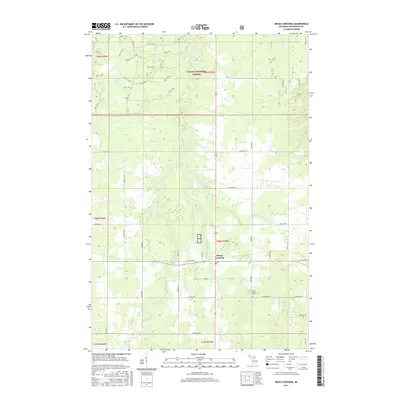
1999 Map of Bruce Crossing
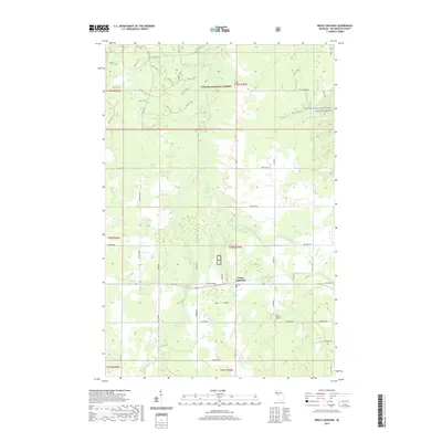
USGS Topo · Published 2004About this map
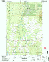
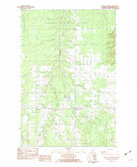
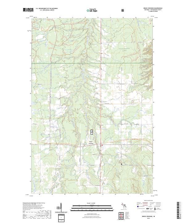
Bruce Crossing serves as the central hub of this Upper Peninsula landscape, situated where the Baltimore River meets several distinct tributaries. The topography, revised by the USDA Forest Service in the late 1990s, reveals a mix of timber management and local utility infrastructure within the Ottawa National Forest. Small settlements like Baltimore and Gem are linked by rural routes such as Brown Road, while the inclusion of the Bruce Crossing Cem and a Private Landing Strip near the river provides specific touchpoints for genealogists and local historians. The area is defined by its complex drainage network, featuring uniquely named water bodies like Fifteen and One-half Mile Creek and Inkala Creek. Evidence of local industry is visible through scattered Gravel Pits and a Communication Tower, illustrating the modern utility of this northern Michigan forest land.
Find a feature on this map
29 named features on this map. Tap any name to fly to it.
Don’t see what you’re looking for? This feature index may not catch every label — zoom into the map to look around manually.
Map Details
Editions of this 1999 Bruce Crossing Map
This is the sole edition of this map. No revisions or reprints were ever made.
Historical Maps of Stannard Township Through Time
7 maps found
Featured Locations
- Haight Township, MI
- McMillan Township, MI
- Rockland Township, MI
- Stannard Township, MI
- Bruce Crossing, Stannard Township